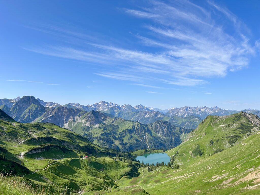
If you’re looking for an epic hiking destination that has both breathtaking scenery and lots of things to do, Oberstdorf in the Allgäu region of Bavaria, Germany, should be at the top of your list.
This picturesque area is located in the heart of the Bavarian Alps and offers a wide range of outdoor activities I’m sure you’ll love.
Now let’s dive into what makes Oberstdorf a must-visit for hiking enthusiasts.
Where is Oberstdorf, Germany?
Oberstdorf is located in the southernmost part of Germany, near the Austrian border. It is part of the Allgäu region, known for its rolling green hills, charming villages, and stunning alpine landscapes. Oberstdorf town itself is situated at an elevation of around 813 meters (2,667 feet) and is surrounded by towering peaks, including the famous Nebelhorn as well as deep gorges like Breitachklamm.
What to do in Oberstdorf, Allgäu
Oberstdorf is a true haven for outdoor lovers in all seasons, offering a variety of activities throughout the year. In the summer, hiking, mountain biking, and paragliding are popular, while in the winter, the town transforms into a ski paradise.
The charming town center, with its traditional Bavarian architecture, local shops, and traditional German dishes screams Bavaria.
Here’s some of the best hikes to do in Oberstdorf:
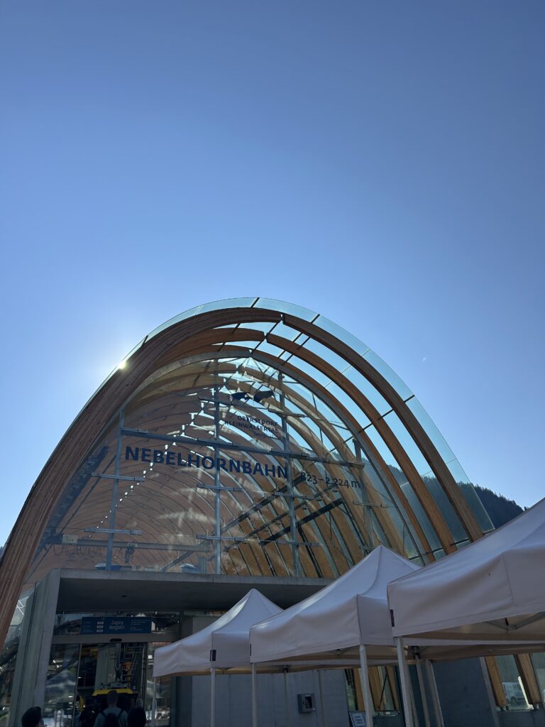
NebelhornBahn
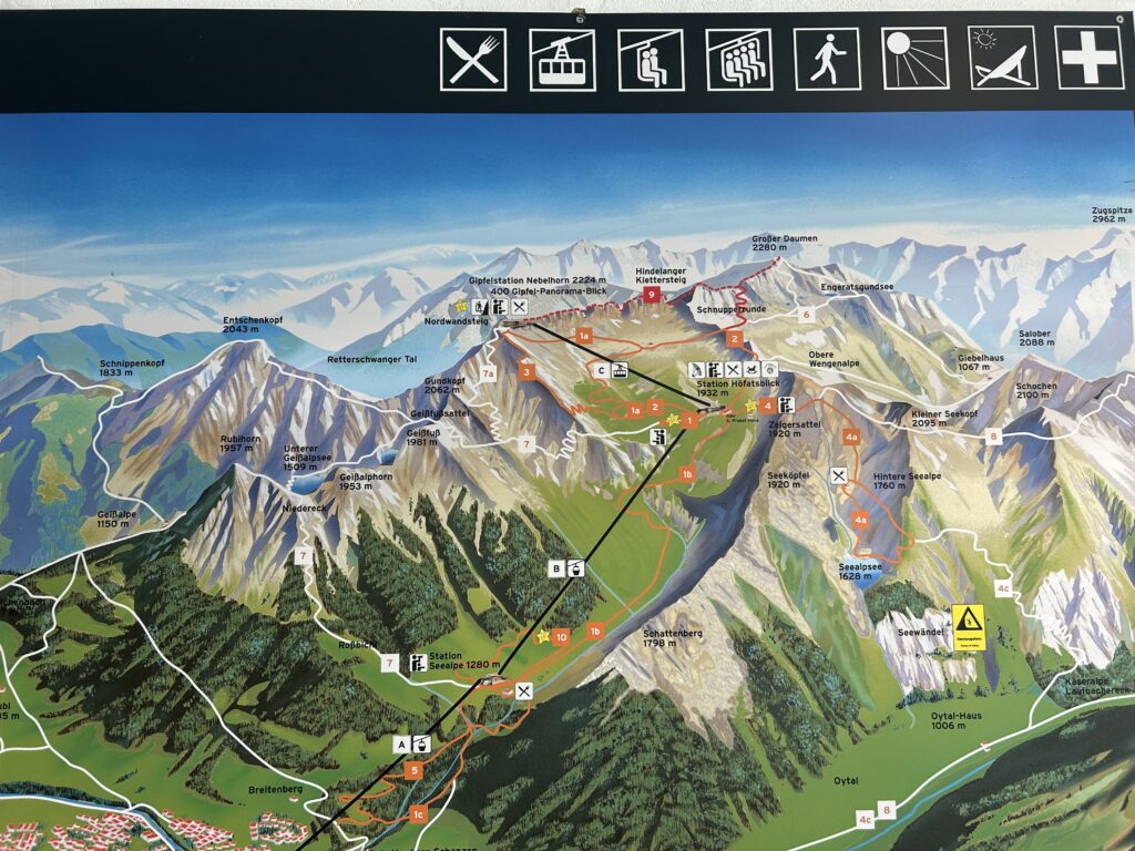
One of the highlights of any trip to Oberstdorf is a ride on the NebelhornBahn, a cable car that takes you up to the summit of Nebelhorn Mountain. The ride itself is breathtaking, with panoramic views of the surrounding Alps. There’s 3 stops on the cable car.
- Station Seealpe (1280m)
- Station Höfatsblick (1932m)
- Gipfelstation Nebelhorn (2224m)
You have to get off at stop 2 in order to take a different gondola to the Nebelhorn station.
There’s 10 hiking trails starting from these stations ranging from easy walks to challenging climbs. The most famous ones are Zeigersattel/Seealpsee and Unterer Gaisalpsee.
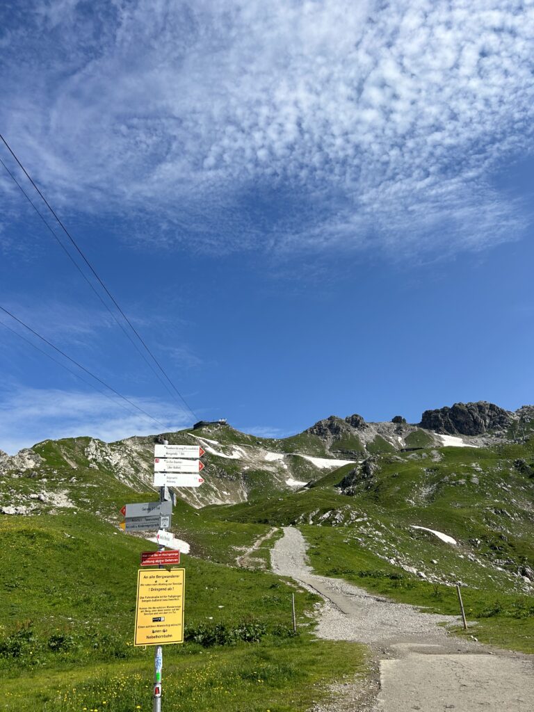
To hike to Zeigersattel take route 4 from Station Höfatsblick. To continue the hike to Seealpsee take route 4a.
To hike to Geisalpsee take route 7 from Station Höfatsblick or 7a from Gipfelstation Nebelhorn.
Prices for Nebelhornbahn
There’s several ticket options when taking the Nebelhornbahn and knowing your options are quite important. If you want to be able to take the cable car all the way up to the Gipfelstation Nebelhorn summit you’ll need a Summit ascent ticket which is €40.5 for adults. If you only want the ticket to stop 2 you need a Höfatsblick ascent ticket which is €35 for adults.
Check updated prices here
If you choose the Höfatsblick ascent ticket you can hike up to the summit via trail 1a or 3.

Parking at Nebelhornbahn, Oberstdorf
At the Nebelhornbahn valley station and the Oybele car park, the parking ticket generally costs 15 euros. However, with a valid cable car ticket and after using the Nebelhornbahn on the same day, you only pay 5 euros.
See all parking options here
I parked at Oststraße parking and paid €22.5 for 9 hours (I didn’t know about validation from using the cable car).
Must-do hikes in Oberstdorf
Oberstdorf offers an array of hiking trails that cater to all levels of experience. Whether you’re looking for a leisurely walk or a challenging ascent, you’ll find something that suits your taste.
Nebelhorn
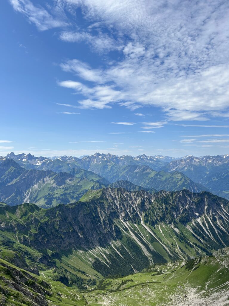
The Nebelhorn is the most iconic peak in Oberstdorf, standing at 2,224 meters (7,297 feet). This is a challenging hike but rewarding with unforgettable views.
There’s several routes going to Nebelhorn summit. For example this trail from Oytal or this one going along the Nebelhorn cable car.
Zeigersattel
One of the more popular routes on the Nebelhorn is the hike to Zeigersattel.
Time: 6h
Distance: 15.4km
Incline 1100m
See the trail here
If you’d rather take the cable car – take Nebelhornbahn to station 2 and walk on route 4 towards Zeigersattel.
This is a very easy and straight path which leads you to one of the best views of all of Oberstdorf!
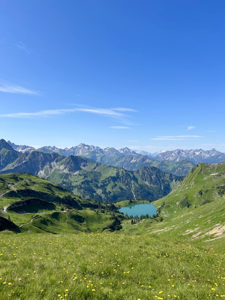
With a direct view over Seealpsee surrounded by the Oberstdorf mountains, you can stop here, soak it in or continue down route 4a going down to the lake!
Nordwandsteig
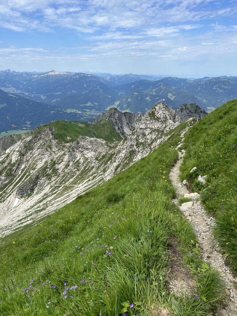
If you’re a hard-core hiker and adventurer, the Nordwandsteig is a trail that takes you along the northern face of the Nebelhorn. This route is challenging, with steep sections and exposed paths, but the views of the surrounding peaks and valleys make it well worth the effort.
If you’d rather take the easy way, get the nebelhornbahn summit ascent ticket. Remember you need to get off at station 2 and walk 100 metres to the Nebelhorn Gipfel cable car going all the way to the summit.
Geisalpsee
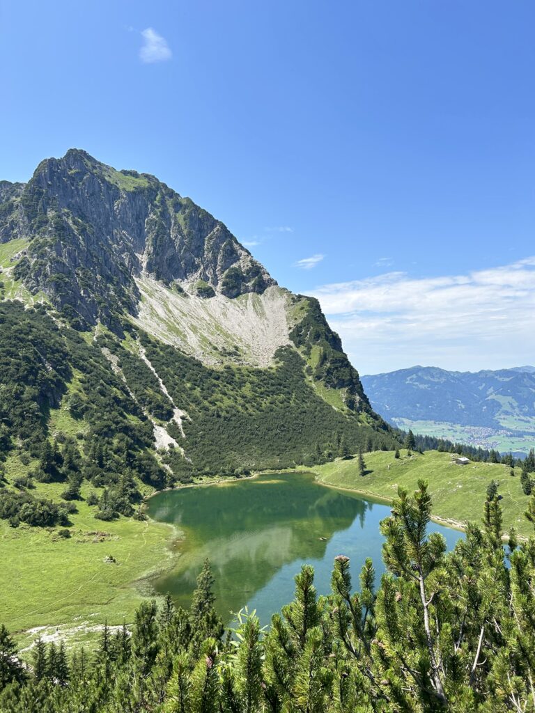
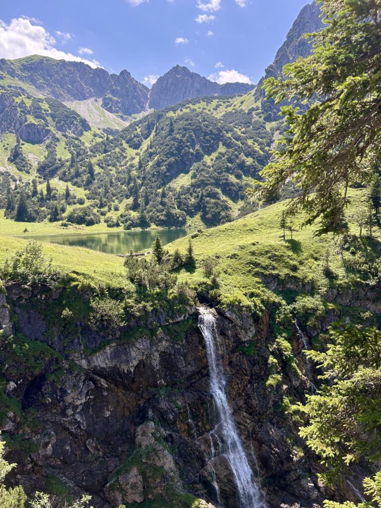
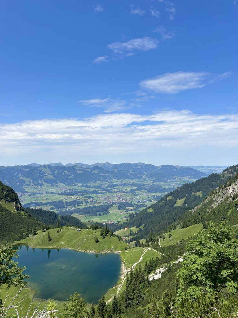
A highlight of the Rubihorn hike is the Geisalpsee, two beautiful alpine lakes next to each other – hence called the Oberer Geisalpsee (upper lake) and Unterer Gaisalpsee (lower lake).
Time: 7.26h
Distance: 17.1km
Incline 1267m
See the trail here
If you’d rather take the cable car – take the Nebelhornbahn to Nebelhorn Gipfel summit and begin route 7a + 7 towards Geisalpsee. If you stay at station 2, take route 1 + 7 towards Geisalpsee.
Be aware: these routes is very steep and full of loose stones. Trekking poles are advised.
After about 1,5 hours you’ll reach Oberer Geisalpsee and 30 min. later you’ll be in front of Unterer Gaisalpsee. Straight in front of you is Gaisalpbach waterfall and Rubihorn at 1957 metres.
From here you can choose to walk back the same way (route 7) to station 2 or continue down Rubihorn mountain toward station 1.
If you only purchase a one-way cable car ticket, there’s also a trail leading back to Oberstdorf.
Oytal Loop from Oberstdorf
The Oytal loop is a popular hike that starts and ends in Oberstdorf. This trail takes you through the picturesque Oytal Valley, with stunning meadows, waterfalls, all overlooking mountain peaks. The loop is relatively easy and is a great option for families or those looking for a leisurely day hike.
Time: 3.30h
Distance: 12.5km
Incline: 210m
Decline: 210m
level: easy/intermediate
See the trail here
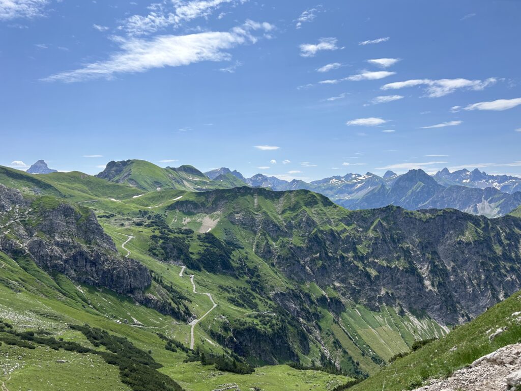
View of Freibergsee Loop from Oberstdorf
For a shorter, more relaxed hike, the Freibergsee loop offers stunning views of the Freibergsee lake and the surrounding mountains. This trail is perfect for a morning or afternoon stroll and is easily accessible from Oberstdorf. The Freibergsee lake is also a popular spot for swimming in the summer, making it a great way to cool off after a hike.
Time: 3.45h
Distance: 12.7km
Incline 310m
Decline 310m
level: easy/intermediate
See the trail here
Oberstdorf Ski Resort
In addition to its summer hiking trails, Oberstdorf is a renowned ski destination. The Oberstdorf-Kleinwalsertal ski area offers over 130 kilometers of slopes, catering to all levels of skiers. The resort also offers snowshoeing, cross-country skiing, and tobogganing, so no excuses ;))
What to Bring Hiking in Allgäu
When hiking in the Allgäu region, it’s essential to be well-prepared. Here are a few items you should consider bringing:
- Sturdy Hiking Boots: The trails in Oberstdorf can be rugged, so good footwear is a must.
- Layered Clothing: The weather in the mountains can change quickly, so dress in layers.
- Water and Snacks: While there are mountain huts along some trails, it’s always a good idea to have your own supplies.
- Map or GPS: Even though the trails are well-marked, having a map or GPS can help ensure you stay on track.
- Sun Protection: The sun can be strong at higher elevations, so bring sunscreen, sunglasses, and a hat.
Where to stay in Oberstdorf
|
Primary Rating:
4.5
|
Primary Rating:
3.5
|
Primary Rating:
3.2
|
Primary Rating:
3.0
|
|
€206/night
|
€156
|
€109/night
|
€28/night
|


